Clear maps
Every map is designed to be read quickly and understood by a non-expert. Legend, scale, north arrow, date — every time.

Zavia GIS is a specialized desktop screening and GIS mapping practice serving the Greater Toronto Area and Southern Ontario. We help property owners, realtors, builders, and consultants understand what the public maps already say about a property — before they commit money, design hours, or planning conversations.
The name Zavia means angle or perspective — exactly what we try to give clients before they buy, build, or plan.

I started Zavia because I kept watching buyers and builders learn about mapped constraints after they had already committed. Maps should come first. That's the whole idea.
Zavia GIS is founder-led by Zara Usmani, an Environmental Science graduate from the University of Waterloo with GIS and Environmental Assessment training. Zavia focuses on Ontario property screening, public GIS data review, and early-stage constraint mapping for buyers, realtors, builders, and consultants.
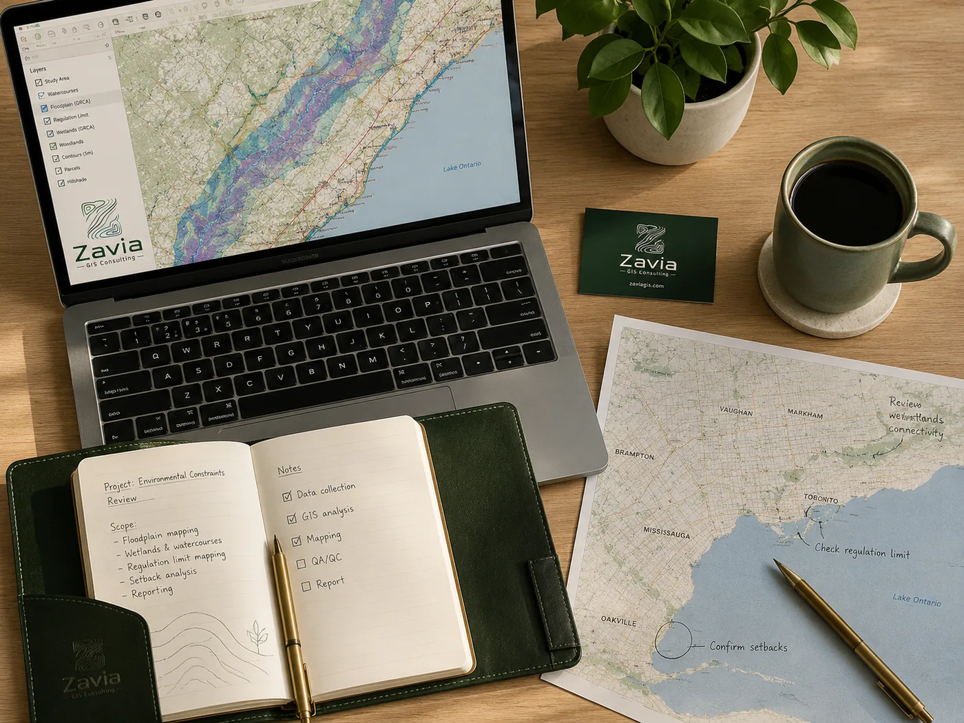
Zavia is designed as a preliminary desktop screening and mapping support service. That focus allows us to provide clear, useful early-stage maps without overstating what a desktop review can determine.
It also keeps pricing reasonable, turnaround fast, and the value to clients honest. We don't compete with full environmental engineering firms — we sit one step earlier in the decision process. We tell you what the public maps show, what questions to ask next, and which professionals to escalate to if needed.
This honest scope is what makes the service trustworthy. We'd rather be the smartest $249 you spend on a property than the expert who tells you what you already half-knew.
Every map is designed to be read quickly and understood by a non-expert. Legend, scale, north arrow, date — every time.
Data sources are cited on the map face. You can verify and reproduce every layer we use.
Screening notes are written in plain English — pointed at decision-makers, not committees.
Clear boundaries around what the service does and does not provide. No buildable / not-buildable conclusions.
Send a property address or project location. We'll confirm scope and pricing within one business day.