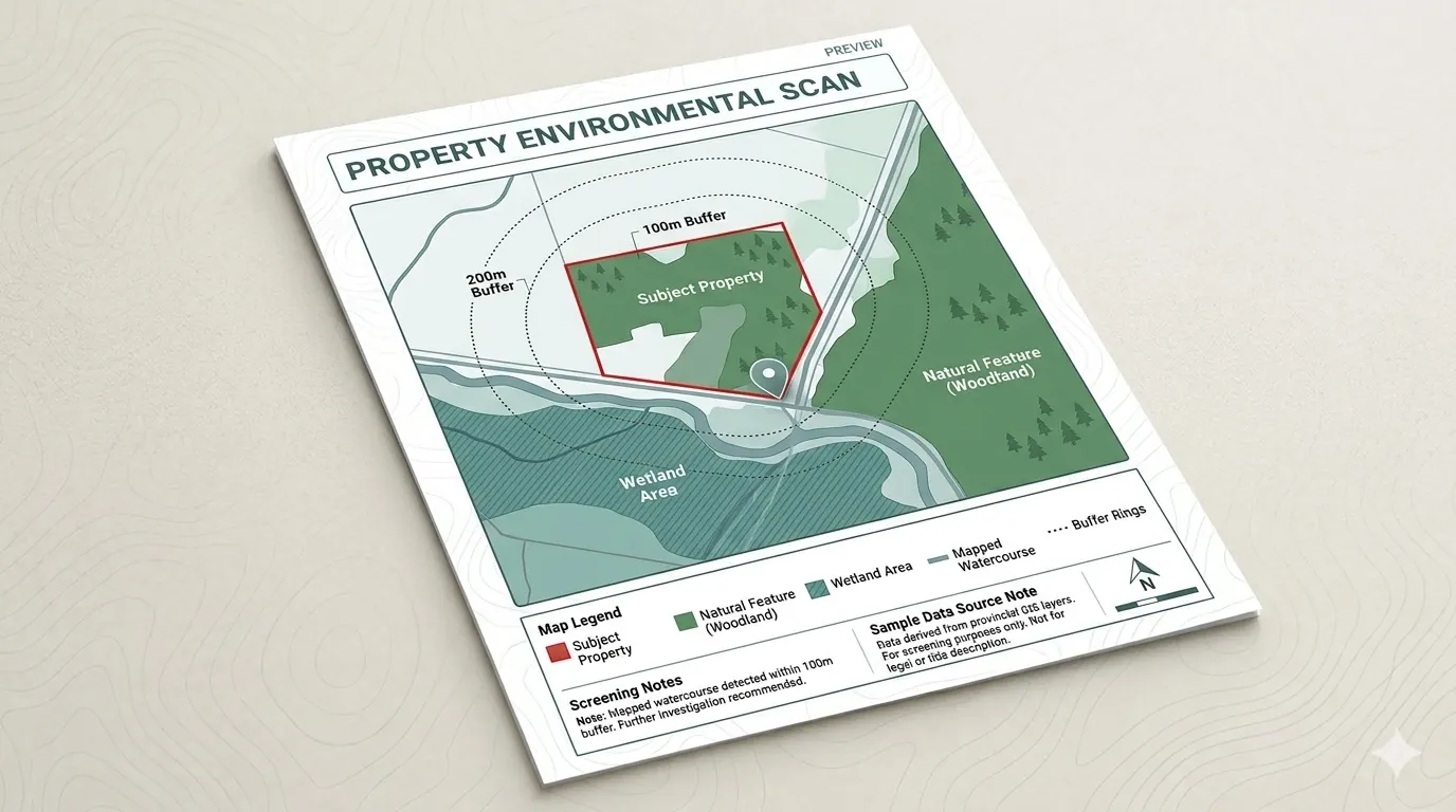
Property Environmental Scan
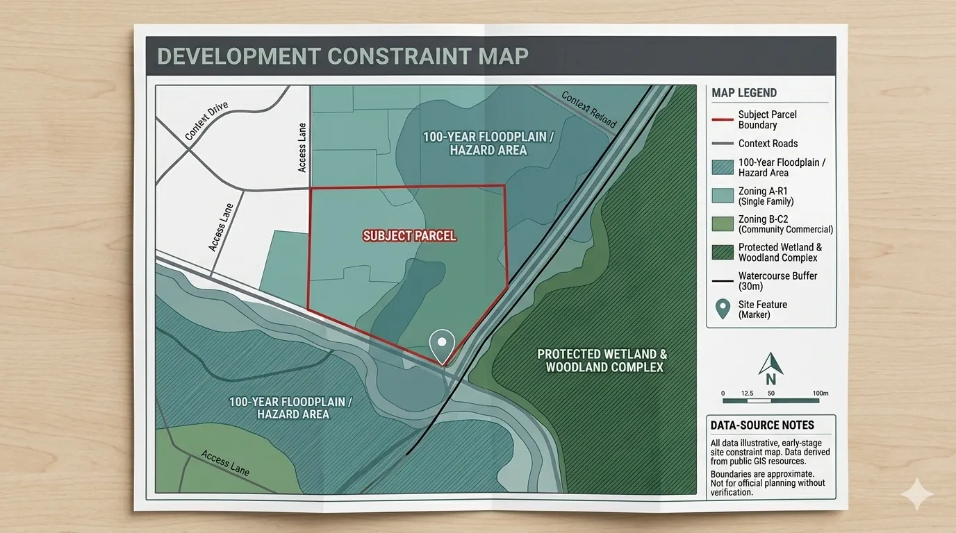
Typical sample elements include a property location map, parcel context map, regulated-area / conservation overlay, watercourse or wetland proximity, a summary section, data-source notes, and a limitation note.
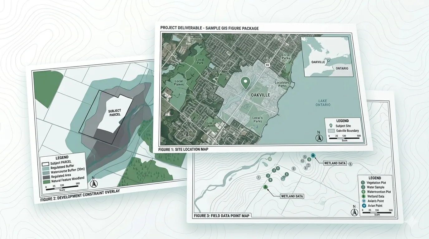
Sample maps show how Zavia organizes public GIS data into clear, practical visuals — property location maps, constraint overlays, buffers, source notes, and screening summaries.


Typical sample elements include a property location map, parcel context map, regulated-area / conservation overlay, watercourse or wetland proximity, a summary section, data-source notes, and a limitation note.

Typical elements include the parcel boundary, environmental constraints, buffer zones, nearby natural features, site access/context, legend, scale bar, north arrow, date, and data sources.

Typical elements include clean report-ready figures, professional layouts, legends, north arrows, scale bars, prepared-by lines, and data-source notes.

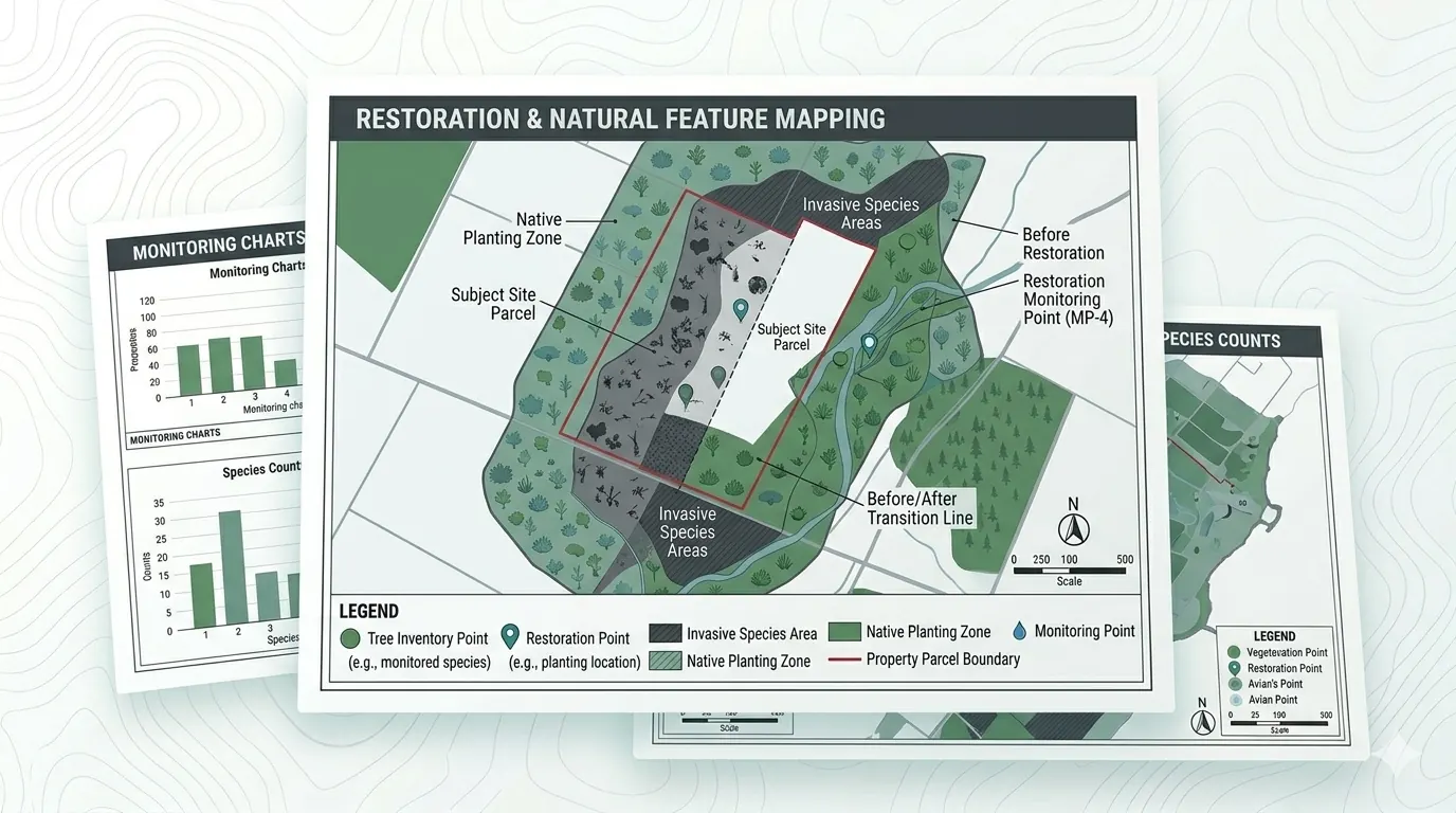
Typical elements include planting zones, tree inventory points, invasive species areas, monitoring points, and before/after restoration visuals.
Each map is built around the same checklist:
These elements are deliberate — they're what separates a useful map from a confusing one. Every Zavia deliverable passes the same review checklist before it ships.
Send a property address or project location and we'll confirm the right scan package and pricing within one business day.