Real samples. Real workflow. Click any map to enlarge.

Sample maps show how Zavia organizes public GIS data into clear, practical visuals — property location maps, constraint overlays, buffers, source notes, and screening summaries.

Note: Sample maps are for demonstration only and built from publicly available data. Actual project scope and visuals will vary based on location, available datasets, and client needs.
Consultant GIS figure package samples
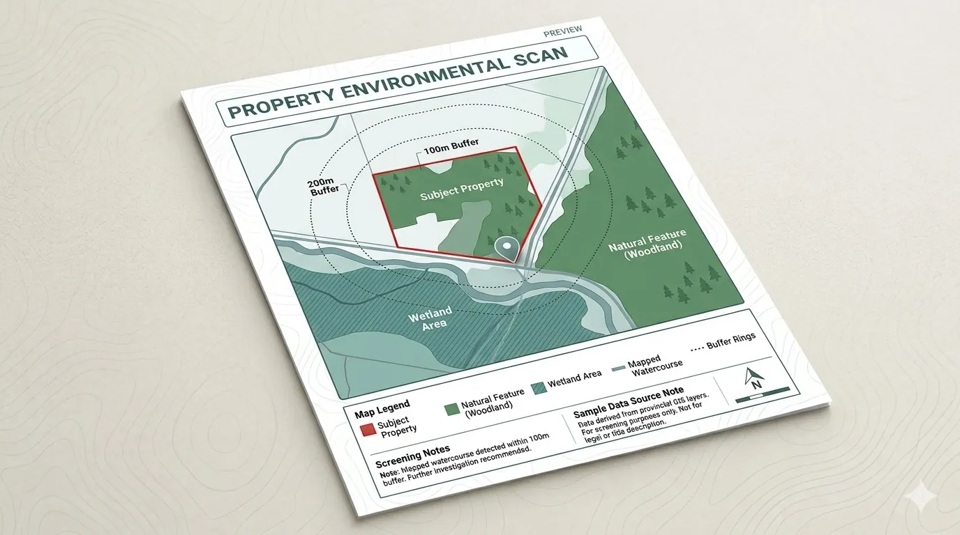
Sample Property Environmental Scan

Property Environmental Scan

Typical sample elements include a property location map, parcel context map, regulated-area / conservation overlay, watercourse or wetland proximity, a summary section, data-source notes, and a limitation note.

Location mapConstraint overlaySource notes
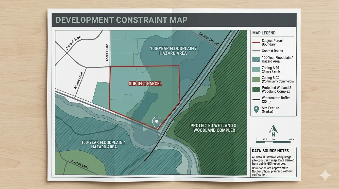
Sample Development Constraint Map

Development Constraint Map

Typical elements include the parcel boundary, environmental constraints, buffer zones, nearby natural features, site access/context, legend, scale bar, north arrow, date, and data sources.

Parcel boundaryBuffer zonesPDF + KMZ optional
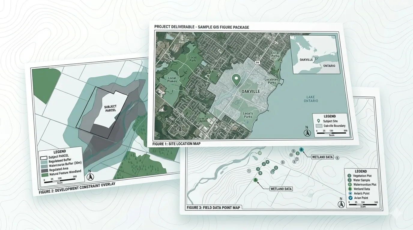
Sample Consultant GIS Figure Package

Consultant GIS Figure Package

Typical elements include clean report-ready figures, professional layouts, legends, north arrows, scale bars, prepared-by lines, and data-source notes.

Report figuresStandardized layoutsQGIS / ArcGIS
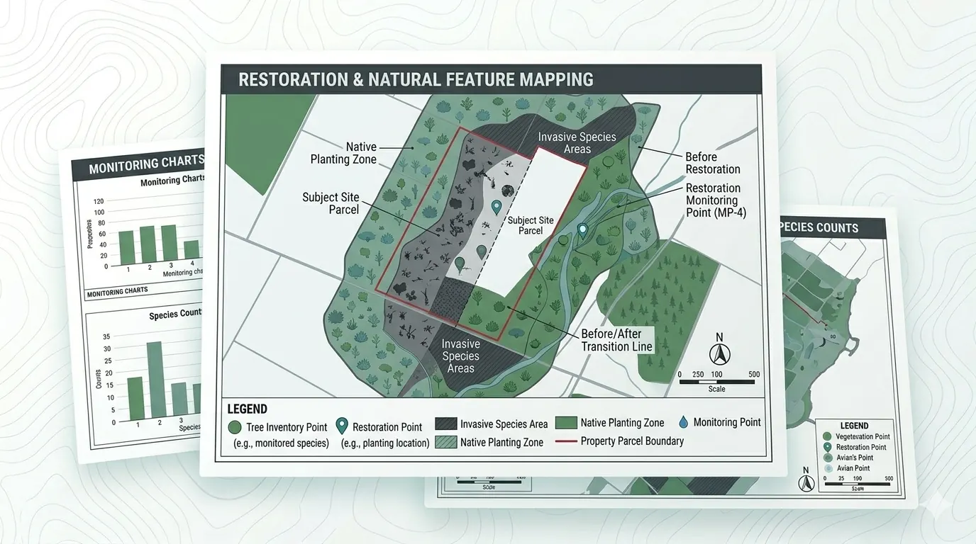
Sample Restoration and Natural Feature Mapping

Restoration & Natural Feature Mapping

Typical elements include planting zones, tree inventory points, invasive species areas, monitoring points, and before/after restoration visuals.

Planting zonesTree inventoryBefore/after

Reading a Zavia sample.

Each map is built around the same checklist:

  • Clear legend & symbology
  • Visible north arrow and scale bar
  • Map date prominently displayed
  • Property / parcel clearly identified
  • Data sources cited on the map face
  • Limitations noted explicitly
  • Buffers and proximity zones labeled
  • Screening summary in plain English

These elements are deliberate — they're what separates a useful map from a confusing one. Every Zavia deliverable passes the same review checklist before it ships.

See how your property maps out.

Send a property address or project location and we'll confirm the right scan package and pricing within one business day.

Send a property address →Start