Peel Region

Property environmental screening in Mississauga.

Mississauga sits across two conservation authority jurisdictions (CVC and TRCA), four major watercourses, and a wide mix of urban infill, ravine lots, and Lake Ontario shoreline parcels. Zavia GIS reads the right public maps for each one.

Launch pricing from $249 · 2–3 day turnaround · Public-data based
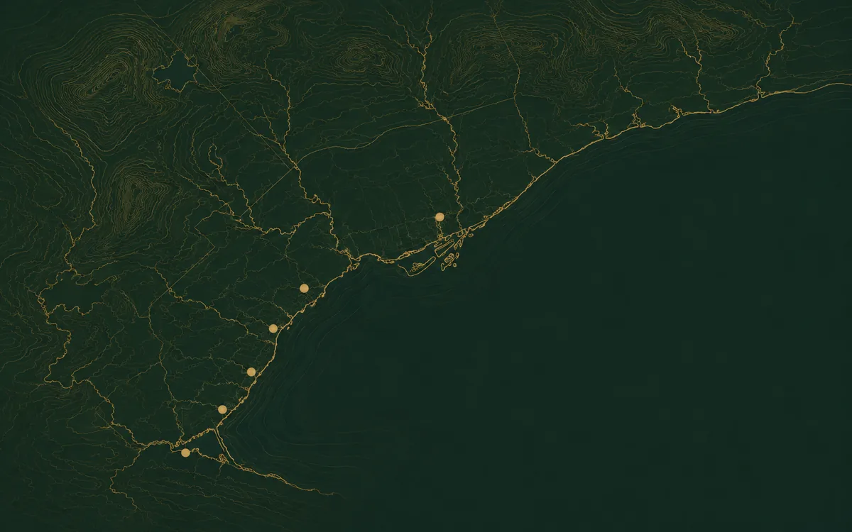
Map of the Greater Toronto Area showing Mississauga and surrounding region

Why Mississauga properties are screened differently.

Mississauga is the largest city we cover and sits across two conservation-authority jurisdictions. Most parcels are regulated by Credit Valley Conservation (CVC), but properties in the city's east end — generally east of Cawthra Road — fall under Toronto and Region Conservation Authority (TRCA). Each authority maintains its own regulated-area mapping with slightly different rules, so the first job on a Mississauga screening is figuring out which authority's data applies to the parcel.

Most of Mississauga falls under Credit Valley Conservation's jurisdiction, but the eastern portion (along Etobicoke Creek and Mimico Creek) is regulated by TRCA. Knowing which authority covers a given parcel is the first question on any Mississauga screening.

Common findings on Mississauga properties
  • Regulated-area mapping along the Credit River and Etobicoke Creek
  • TRCA vs CVC jurisdictional checks on east-end properties
  • Mature tree-canopy and Tree Protection Bylaw triggers on infill lots
  • Lake Ontario shoreline hazard allowance along Port Credit / Lakeview waterfront

The watercourses and authorities behind Mississauga's mapping.

Most of Mississauga's mapped environmental constraints trace back to a small number of watercourses and the conservation authority that regulates them.

Credit Valley Conservation (CVC) & TRCAMost of Mississauga falls under Credit Valley Conservation's jurisdiction, but the eastern portion (along Etobicoke Creek and Mimico Creek) is regulated by TRCA. Knowing which authority covers a given parcel is the first question on any Mississauga screening.
Credit RiverMississauga's largest watercourse, running from Streetsville to Port Credit. Major regulated corridor with extensive floodplain and natural heritage mapping.
Etobicoke CreekForms the Mississauga/Toronto boundary in the east; TRCA-regulated with significant floodplain.
Mimico CreekEastern Mississauga and Etobicoke; smaller but heavily mapped through residential areas.
Cooksville Creek & Mary Fix CreekSmaller tributaries running through central Mississauga; regulated allowances apply on many lots.

Where we work across Mississauga.

Different parts of Mississauga carry very different combinations of regulated mapping, plan-area policy, and natural heritage data.

Port Credit & Lakeview

Lake Ontario shoreline policy, Credit River mouth, lakefront hazard allowances.

Streetsville & Erindale

Credit River corridor — regulated allowances along the valley; mature ravine lots.

Erin Mills & Meadowvale

Suburban infill with tributary creeks; check Credit Valley regulated mapping.

Malton, Northeast & Airport-adjacent

Etobicoke Creek floodplain; TRCA jurisdiction; noise and zoning overlays.

Mississauga property types where screening pays off.

Credit River ravine lots in Streetsville and Erindale
Lakefront and Port Credit waterfront properties
Infill development parcels in central Mississauga
Etobicoke Creek-adjacent properties in east Mississauga
Severance and small builder lots
Custom home lots backing onto natural heritage features
Zavia GIS provides preliminary desktop screening based on publicly available data. It helps identify mapped constraints and next questions for any Mississauga property. It does not replace formal environmental, engineering, legal, planning, surveying, or regulatory advice. See Scope of Services.

Mississauga property in mind?

Send the address. We'll confirm scope and pricing within one business day.

Check your Mississauga property →Start