01
Property Environmental Screening
A fast desktop GIS review for simple properties where you need an early look at mapped environmental and planning-related constraints before making an offer, asking deeper questions, or engaging formal consultants.
Best for: home buyers, realtors, small property investors, land buyers, homeowners considering future improvements.
- Review of available public GIS layers
- Property and surrounding area context
- Mapped environmental indicators where available
- Clear summary notes
- PDF map / report deliverable
Launch — from $2492–3 business days
Expected regular pricing: from $395. Launch pricing applies to simple properties and standard turnarounds.
Request a Property Screening →
02
Standard Property Screening Report
A more detailed property screening package for clients who want additional map views, clearer documentation, source references, and suggested next questions before moving forward.
Best for: properties with more visible constraints, buyers wanting a more complete desktop review, realtors supporting client due diligence, small builders or homeowners planning early feasibility checks.
- Multiple map exhibits
- Public GIS constraint review
- Summary of mapped findings
- Source list / data references
- Suggested follow-up questions for the municipality, conservation authority, planner, engineer, or environmental consultant
Launch — from $3953–5 business days
Expected regular pricing: from $495–$595.
Request a Standard Report →
03
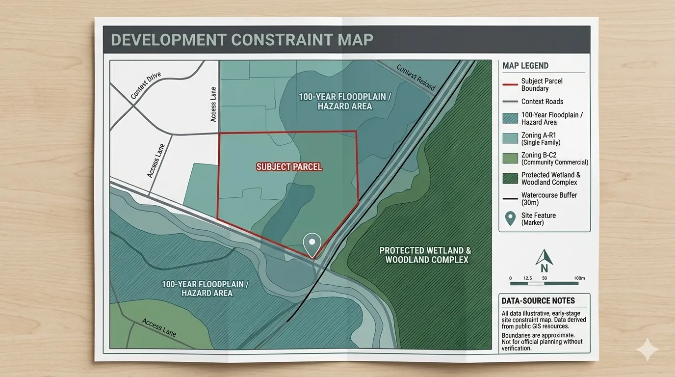
Development Constraint Mapping
A GIS mapping package for builders, designers, consultants, and small developers who need a clearer view of mapped site constraints before design, planning, purchase, or consultant engagement.
Best for: small development sites, infill properties, rural or edge-of-settlement parcels, early feasibility reviews, consultant support packages.
- Parcel and site context mapping
- Mapped environmental and planning constraints where available
- Wetland, woodland, watercourse, floodplain, or regulated-area overlays where public data is available
- Buffer / context mapping where appropriate
- PDF map package — optional GIS files by request
Launch — from $4993–5 business days
Expected regular pricing: from $795.
Request a Map Package →
04
GIS Mapping for Consultants
Flexible GIS support for planning, environmental, engineering, real estate, and development consultants who need clean, professional mapping support without adding full-time GIS capacity.
Best for: overflow GIS mapping work, report-ready figures, site context maps, constraint mapping, public-data compilation, custom map exhibits, short-term project support.
- Report-ready figures & site location maps
- Constraint maps & field data mapping
- Excel-to-map conversion
- KMZ + QGIS / ArcGIS-ready deliverables
- Map updates and revisions
From $75/houror fixed-fee project pricing
Priced on scope, timeline, file requirements, number of maps, and level of analysis. Standard NDA on request.
Discuss Consultant Support →
Pricing notes
Launch pricing applies to simple properties and standard turnaround times.
Custom pricing may apply for: larger parcels, multiple properties, rural or complex sites, properties with significant water features or environmental constraints, custom GIS files (KMZ / SHP), additional revisions, consultant-ready map packages, or multi-site reviews.
Rush delivery may be available depending on workload and may include an additional fee of 30%–50%.